Flooding is one of the main problems that occurs in the Philippines. It affects both rural and urban areas – especially during the rainy season – as it not only affects daily traffic but it also has the potential to affect livelihood when its left unaddressed.
The Philippines is highly exposed to flooding as a product of heavy rainfall and frequent cyclones. That said, there is a need to keep waterways in check so that flooding can be avoided and resolved – especially in major areas in the country. In this article, we’ll be looking at ways on how waterways can be designed for safety and better flood control.
3 Common Cause of Flooding in the Philippines
Before fixing the problem, the cause of it must be distinguished. Finding the cause of flooding in a certain area can greatly help to create a plan to make its waterways better. It’ll also contribute to better planning and finding solutions to current problems.
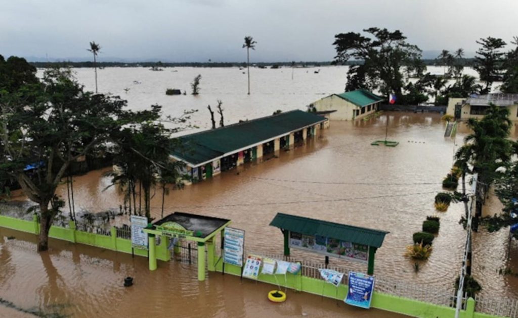
That said, here are three of the common causes of flooding in the Philippines.
Heavy Rainfall
The Philippines experiences heavy rainfall and typhoons multiple times a year. If rainfall is continuous and heavy, it has the potential to cause flash floods which can lead to infrastructure damage and even death. Additionally, heavy rainfall also contributes to other causes including overflowing rivers and dams.
Climate Change
Another primary cause of flooding is climate change. While most parts of the capital don’t experience it directly, climate change can cause flooding because of deforestation. The lesser the forests are, the larger that chance of flooding in a certain area because there won’t be trees to help aid in guarding the area.
Overflowing Dams
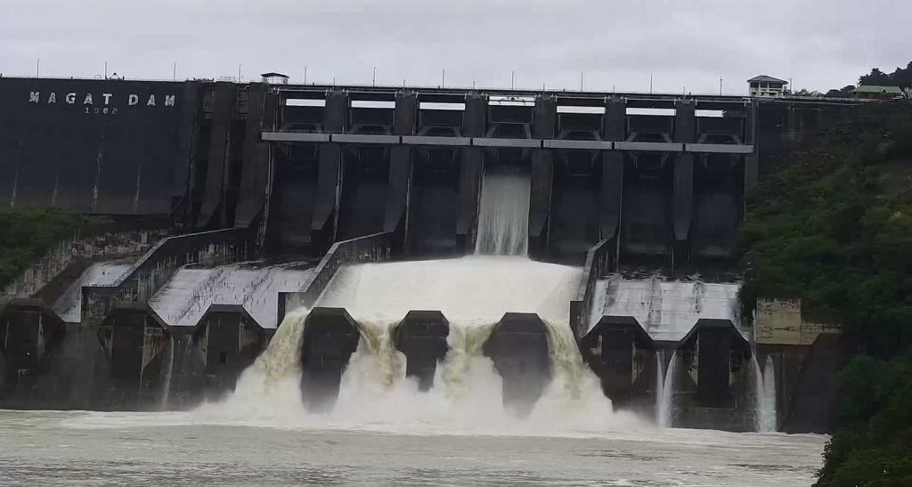
In relation to heavy rainfall, an overflowing dam is also a primary cause of flooding. There are three (3) dams in Metro Manila alone namely the Angat, Ipo, and La Mesa Dams. If exposed to heavy and continuous rainfall, these dams have the potential to overflow and flood its nearby areas – most of which are cities.
3 Ways to Design Better Waterways
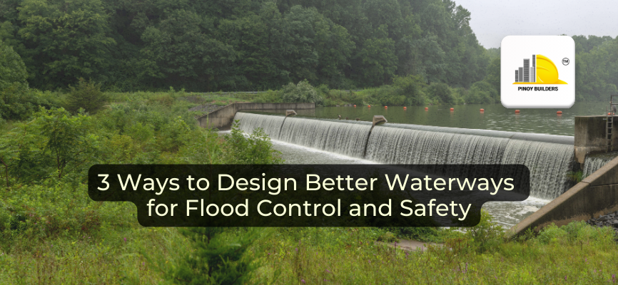
Designing better waterways and floodways not only help to control flooding but it also ensures that it doesn’t cause too much destruction to infrastructure. With that, here are three (3) ways to design better waterways to help against flooding and to keep civilians safe.
Take Note of Flooding Patterns
Knowing the flooding pattern of an area will help with the development of the overall design of the waterway or floodway. It’s also essential to take note of how flooding and flood levels develop in a certain area as well as the frequency of it to help with understanding flood patterns.
Creating a flood hydrograph is essential to evaluate serviceability and waterway safety when floods overtop roads. It also supports any evaluations made of whether a river section has a dedicated flood-control space or if it has sufficient surcharge storage.
Understand Local Floodplain Topography
There are usually three requirements to be able to tell floodplain topography and they are as follows:
- A long section of the road centerline on an existing road is being analyzed
- A cross-section across the river which extends beyond the water level for discharge is to be considered. Another requirement would be the cross-sections that go up and downstream of the proposed waterway.
- A long section that runs along the streambed. This should include the water-surface profile (if available) as it will help to to estimate the drainage path’s hydraulic gradient.
Stage and Tailwater Levels
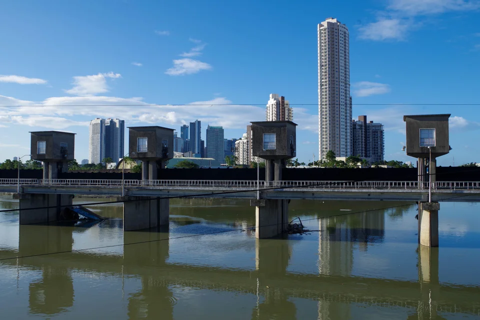
The stage is the water level at the flood or waterway or structure that runs along the natural section of the design. It’s the water level that assumes no structures are present at the crossing. The stage is usually taken at the road centerline.
The tailwater level, on the other hand, is the water level downstream of the waterway. It’s quite similar to the stage level but this is usually taken at the outlet of the floodway. The outlet is generally only a couple of meters downstream of the road centerline.
Learning ways to design better floodways and waterways is essential to ensure the safety of those who live near rivers and areas usually affected by flooding. It not only allows for better flood control but it also ensures the safety of the residents and the infrastructure in the area that might be damaged by flooding. Ultimately, designing better waterways is needed so that problems that arise from flooding can be properly addressed without causing too much harm to nature and the people who live in the area.
Sources:
- Cho, R. (2011, June 7). Making Room for Rivers: A Different Approach to Flood Control. State of the Planet. https://news.climate.columbia.edu/2011/06/07/making-room-for-rivers-a-different-approach-to-flood-control/
- Flood Control and its Management. (n.d.). Www.heraldopenaccess.us. https://www.heraldopenaccess.us/openaccess/flood-control-and-its-management
- 5. Design of floodways – Green Roads for Water. (n.d.). Roadsforwater.org. https://roadsforwater.org/guideline/conclusions-it-pays-off/5-design-of-floodways/
- Palazzo, E. (2018, December 4). Design for flooding: how cities can make room for water. The Conversation. https://theconversation.com/design-for-flooding-how-cities-can-make-room-for-water-105844
- 5 Causes of Flooding to Watch Out For | HSI Services. (2021, April 16). Aquabarrier.com. https://aquabarrier.com/blog/flooding/5-causes-of-flooding-to-watch-out-for/
- PAGASA. (n.d.). PAGASA. Www.pagasa.dost.gov.ph. https://www.pagasa.dost.gov.ph/learning-tools/floods


