The Philippines is no stranger to natural disasters. Our archipelago is located in the Pacific Ring of Fire, which is why it experiences frequent typhoons and numerous other natural hazards, including landslides and floods.
Natural factors like heavy rainfall and earthquakes, along with human activities like mining and deforestation, can trigger landslides, posing a significant threat in many parts of the country. Identifying landslide-prone areas is crucial to enhancing disaster preparedness and reducing the risks they pose to communities. In this article, we will highlight the top landslide-prone areas in the Philippines, drawing from geospatial data to offer insight into how communities can better prepare.
What Causes Landslides in the Philippines?
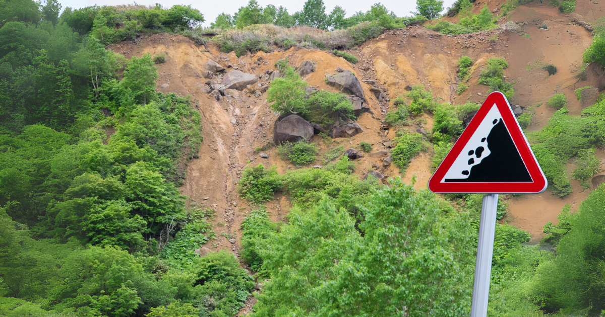
Landslides occur due to a variety of natural and man-made factors. In the Philippines, natural causes include typhoons, earthquakes, volcanic activity, and prolonged heavy rains. These elements destabilize the land, making slopes and mountains vulnerable to collapse.
Human-induced activities also contribute to landslide risk. Mining, deforestation, and improper land use, such as building infrastructure on steep slopes, increase the likelihood of landslides by weakening the soil and altering natural drainage patterns.
10 Major Landslide-Prone Areas in the Philippines
Geographical features, particularly mountainous regions, increase certain areas’ susceptibility. The country’s rugged terrain, with steep slopes and high elevations, increases the risk of landslides, especially when combined with frequent rainfall or seismic activity. The country’s 10 major landslide-prone areas are listed below.
1. Benguet
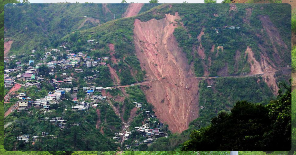
Image from GMA
Known for its high altitude and heavy rainfall, Benguet is extremely susceptible to landslides, particularly during typhoons and the rainy season.
2. Mountain Province
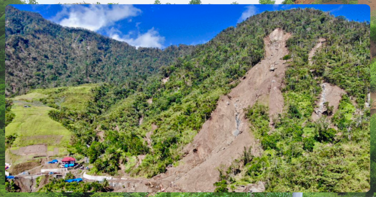
Image from GMA
The rugged terrain and steep slopes, combined with frequent storms, make this province highly vulnerable to landslides.
3. Nueva Vizcaya
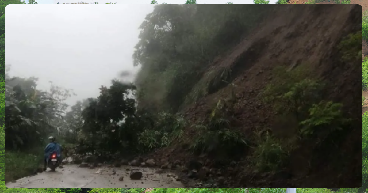
Image from RMN Networks
Frequent earthquakes and rainstorms contribute to landslide occurrences in this mountainous region.
4. Kalinga Apayao
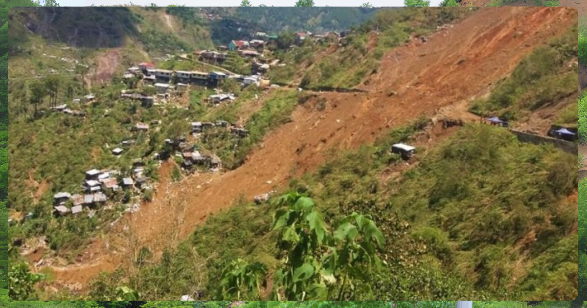
Image from Philippine News Agency
This province’s volcanic terrain and high rainfall make it prone to both landslides and flash floods.
5. Southern Leyte
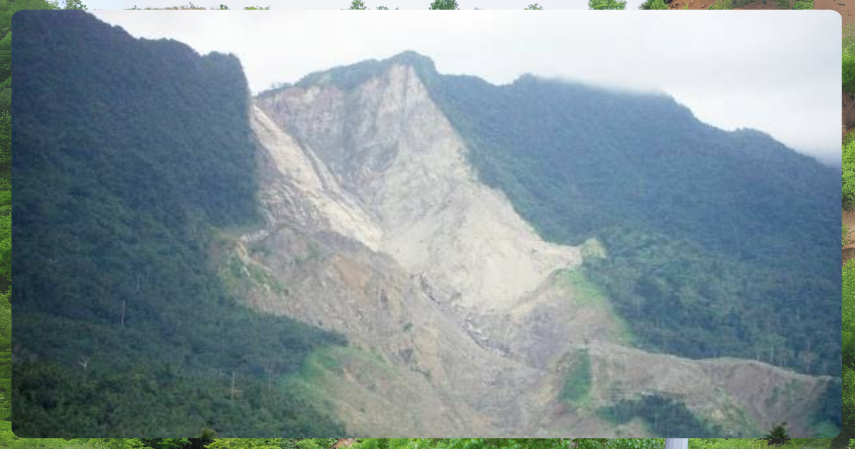
Image from Soil and Environment
Typhoons frequently hit Southern Leyte, and deforestation exacerbates its susceptibility to landslides.
6. Abra
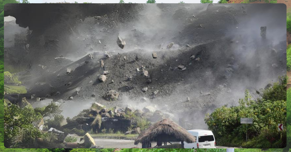
Image from AGU Blogosphere
Abra’s mountainous landscape and frequent seismic activity put it at high risk for landslides, especially after storms.
7. Marinduque
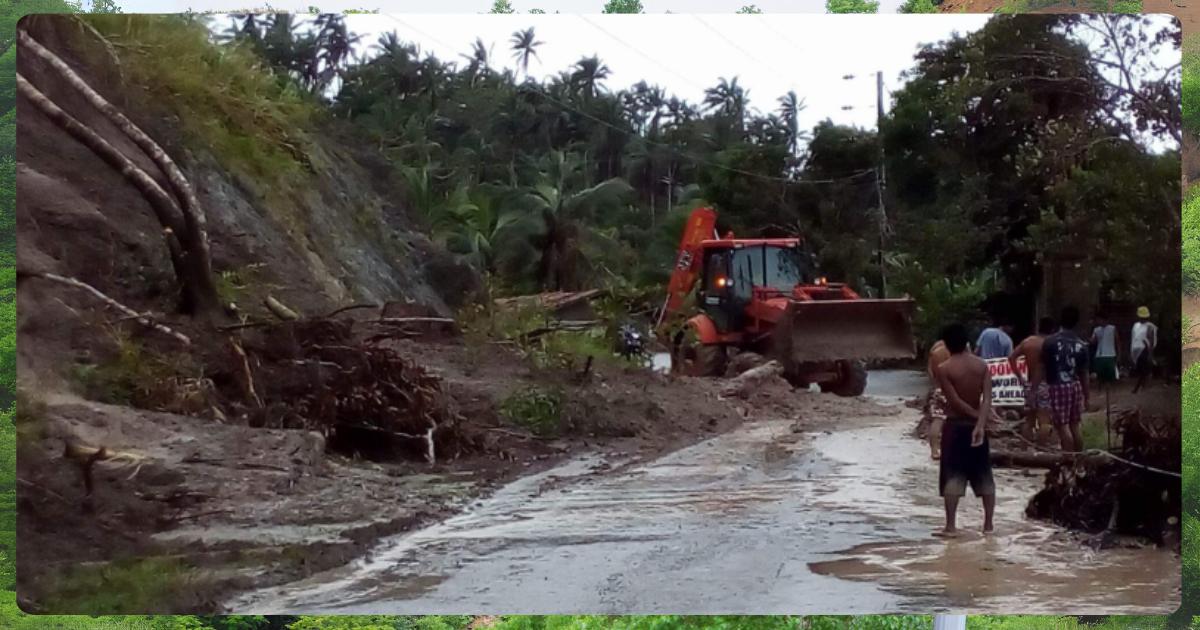
Image from peewee bacuño on X
Coastal regions and mountainous zones in Marinduque are particularly vulnerable to both landslides and flooding.
8. Cebu
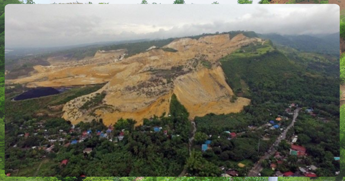
Image from Philippine Star
Human activities such as quarrying and mining exacerbate landslide risk in Cebu’s hilly regions.
9. Catanduanes
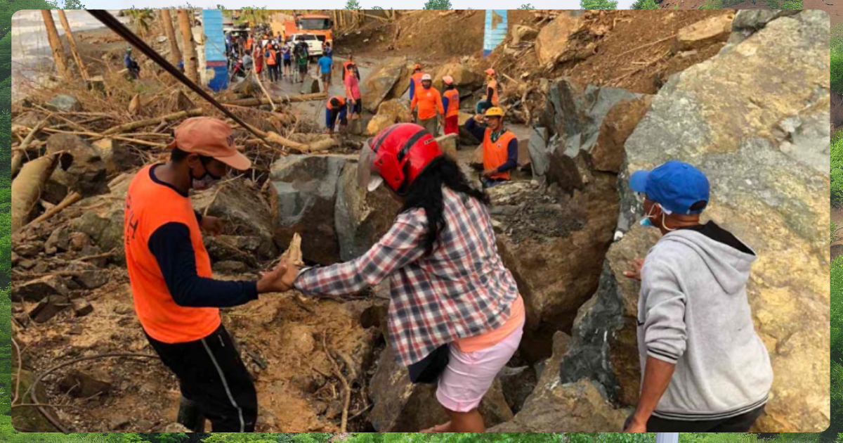
Image from eric.org,ph
The province frequently experiences torrential rains and strong typhoons, which heighten the possibility of landslides.
10. Ifugao
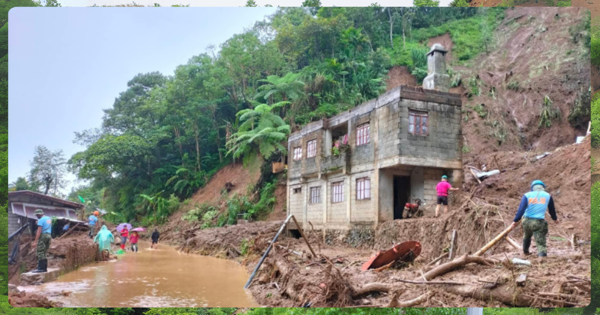
Image from Bombo Radyo Cauayan
Known for its terraced landscapes, Ifugao is prone to landslides, particularly during the rainy season when its slopes become saturated.
Flood-Prone Areas: A Related Concern
In addition to landslides, the Philippines is also highly vulnerable to flooding, especially in low-lying regions and areas near major rivers. Some of the most flood-prone areas identified by the Department of Environment and Natural Resources – Mines and Geosciences Bureau (DENR-MGB) overlap with landslide-prone regions. The combination of heavy rainfall, poor drainage systems, and proximity to rivers creates a dual threat of flooding and landslides, particularly in regions like Benguet and Southern Leyte.
Related: LIST: Flood and Landslide Prone Areas in Metro Manila
Why Are These Provinces at High Risk?
High-elevation areas, such as those in the Cordilleras, are particularly vulnerable to landslides due to their steep slopes and exposure to frequent rainfall. Earthquakes, which frequently strike mountainous provinces, further destabilize the land. Additionally, human activities such as mining and deforestation weaken the soil structure, making it easier for landslides to occur. In areas like Cebu and Southern Leyte, unsustainable land use practices have made these regions more vulnerable to natural disasters, increasing the risks for local communities.
Improving Disaster Preparedness
Recognizing landslide- and flood-prone areas is key to improving disaster preparedness in the Philippines. By understanding the factors that contribute to landslide susceptibility, local governments and citizens can take proactive steps, such as better land use planning, emergency preparedness, and climate adaptation strategies. Agencies like the DENR and the Mines and Geosciences Bureau play an important role in providing the data necessary for disaster risk reduction, helping to safeguard vulnerable communities across the country.
References
Environmental Remote Sensing & Geo-Information Laboratory. (n.d.). Top 5 Landslide Prone Areas in the Philippines. Environmental Remote Sensing & Geo-Information Laboratory. https://ersg.uplb.edu.ph/student-projects/top-5-landslide-prone-areas-in-the-philippines/
Philstar.com. (2024, July 15). 20 flood, landslide-prone areas identified. Philstar.com. Retrieved September 5, 2024, from https://www.philstar.com/nation/2024/07/15/2370302/20-flood-landslide-prone-areas-identified
The Resilient Perspective. (n.d.). Landslide Prone Area in the Philippines. The Resilient Perspective. https://theresilientperspective.wordpress.com/2017/01/13/landslide-prone-area-in-the-philippines/


